Agriculture and livestock
What we offer
Crop Health Monitoring
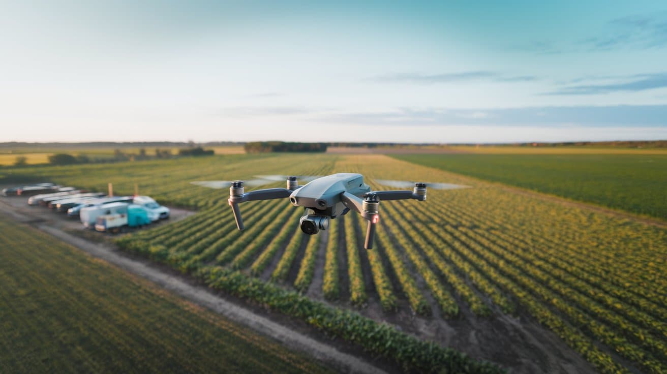
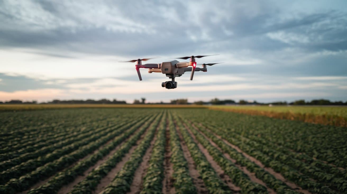
Drones use multispectral and thermal imaging to monitor crop health, detect issues, and generate NDVI maps.
Irrigation Planning
Our drones create irrigation maps, analyze soil moisture, and recommend optimal schedules to reduce water waste and improve yields.
Pest Detection
Our drones use advanced imaging to detect pest infestations early, enabling targeted control and reducing pesticide use.
Yield Prediction
We analyze plant health, soil conditions, and historical data for accurate yield predictions, aiding planning and resource allocation.
Spray Application
Equipped with precision tanks, crop-spraying drones efficiently apply fertilizers, nutrients, and herbicides, minimizing waste, resource conservation and yield optimization.
Soil health monitoring
Leveraging advanced sensors, drone capture highly accurate data on soil health, enabling precise analysis of moisture levels, and soil composition for taking informed decisions.
Our Key Deliverables
Multispectral Crop Health Maps
Utilize NDVI and other indices to assess plant vigor, detect stress, and guide targeted interventions.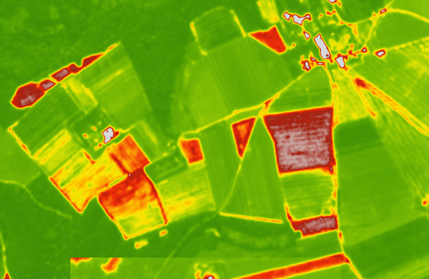
Irrigation Efficiency Reports
Identify over-irrigated or drought-stressed zones to optimize water usage and improve yield.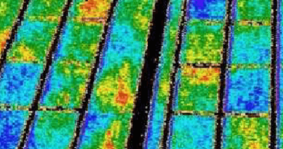
Pest and Disease Detection Alerts
Early identification of infestations or diseases enables prompt treatment, minimizing crop loss.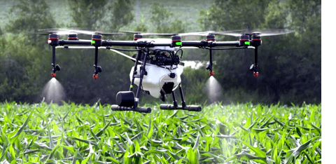
Soil Health Analysis
Assess soil composition and fertility to inform planting strategies and fertilization plans.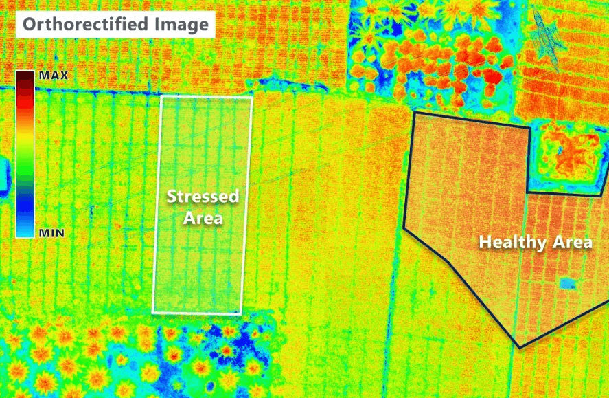
Automated Spraying and Seeding Logs
Documented records of drone-assisted spraying and seeding operations for compliance and analysis.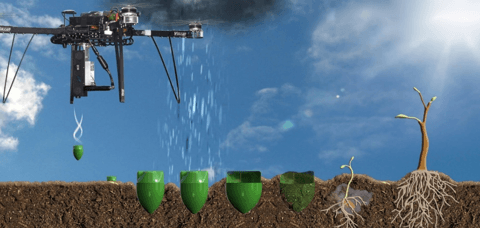
Yield Prediction Models
Forecast crop yields based on current growth patterns and historical data, aiding in market planning.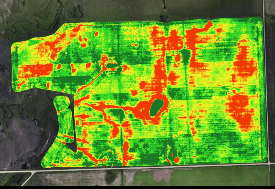
Change Detection Reports
Monitor temporal changes in crop development, land use, and environmental conditions.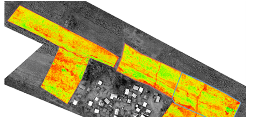
Benefits You Get with Vista Drone Deliverables
Field Mapping
Drones provide high-resolution maps, helping farmers analyze field conditions, optimize land use, and plan efficiently.
Monitoring Field Condition
Drones offer accurate field mapping, helping determine drainage patterns and wet/dry spots for efficient watering.
Planting And Seeding
Automated drone seeders, used in forestry, enable planting in hard-to-reach areas without risking farmers' safety.
Fast Disaster Assessment
Quick aerial surveys assess crop damage after floods or storms, enabling faster recovery planning and insurance claims support.
Security & Surveillance
Drones monitor remote farm areas and livestock, enabling frequent and efficient surveillance of inaccessible regions.
Smart & Sustainable Agriculture
Drones enable precise use of water, fertilizers, and pesticides, reducing waste, lowering costs, and supporting long-term eco-friendly practices.
Would you like to collaborate with us?
Get in touch with us now to initiate a collaborative project.
