Mining
What we offer
Aerial Surveys
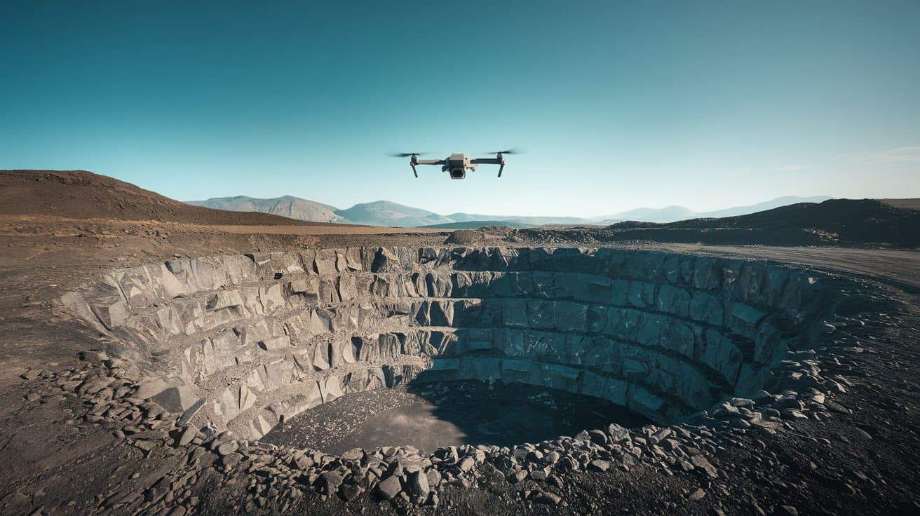
AI-powered drones capture high-resolution, geo-referenced data to generate 2D/3D maps, DEMs, DTMs, and ortho-mosaics for accurate planning.
Real-time Monitoring
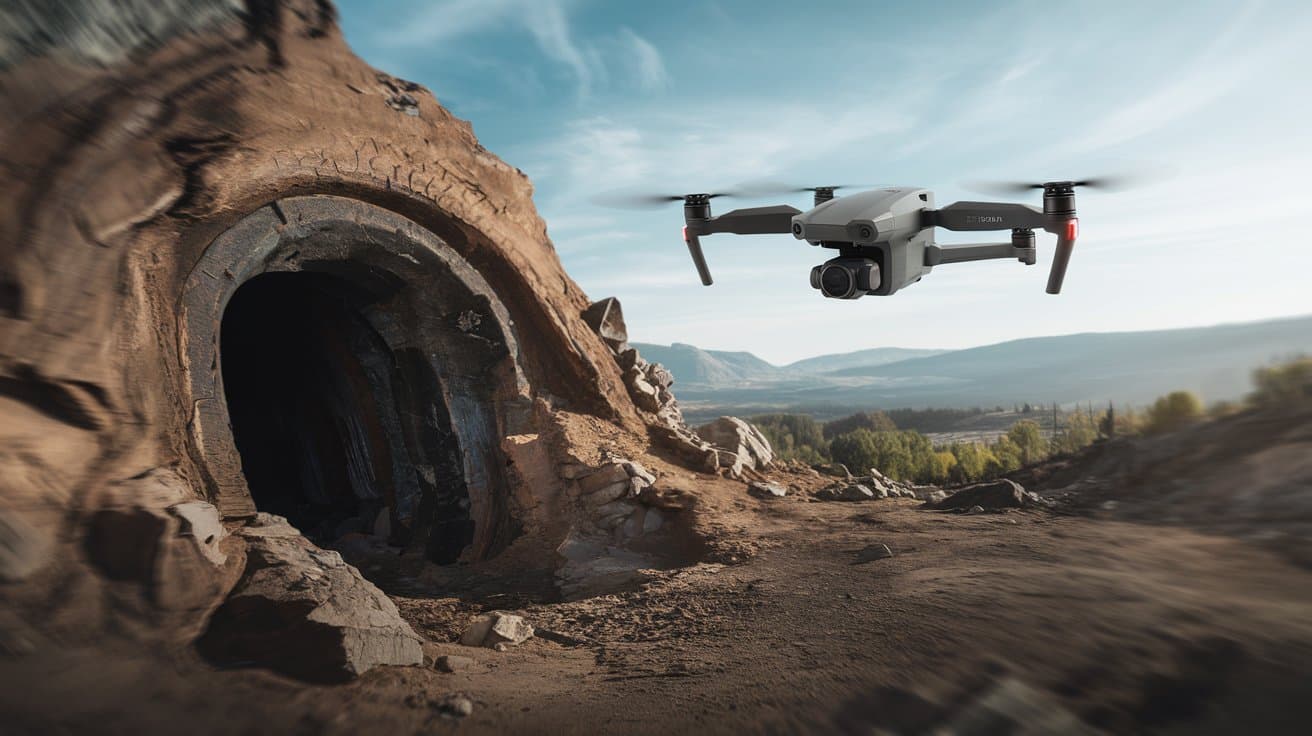
Drones enable live monitoring of drilling, pipelines, and infrastructure, enhancing on-site safety and operational efficiency.
Volumetric Measurements
Drone data provides precise measurements of stockpiles and excavations, streamlining inventory control and resource planning.
Environmental Impact Assessments
Equipped with the right payloads, drones track pollutants and water quality, ensuring compliance and sustainability.
Exploration & Planning
Aerial mapping of leasehold areas delivers DTMs, DSMs, and excavation reports for better exploration and project planning
Slope Analysis
Contour maps with 2–5m intervals reveal slope gradients, aiding safer and more efficient mine layout design.
Our Key Deliverables
Digital Terrain Model (DTM)
Bare-earth models that remove vegetation and structures to reveal accurate elevation data—ideal for slope analysis, drainage, and site planning.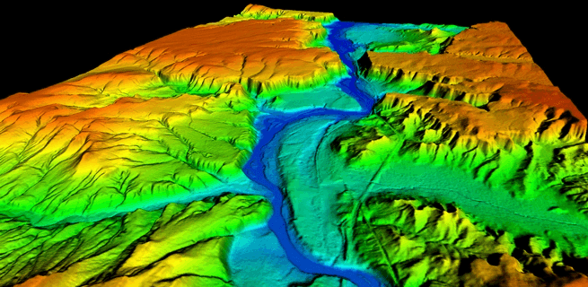
Contours
Visualizes terrain elevation with color-coded contour lines for better understanding of site gradients and excavation requirements.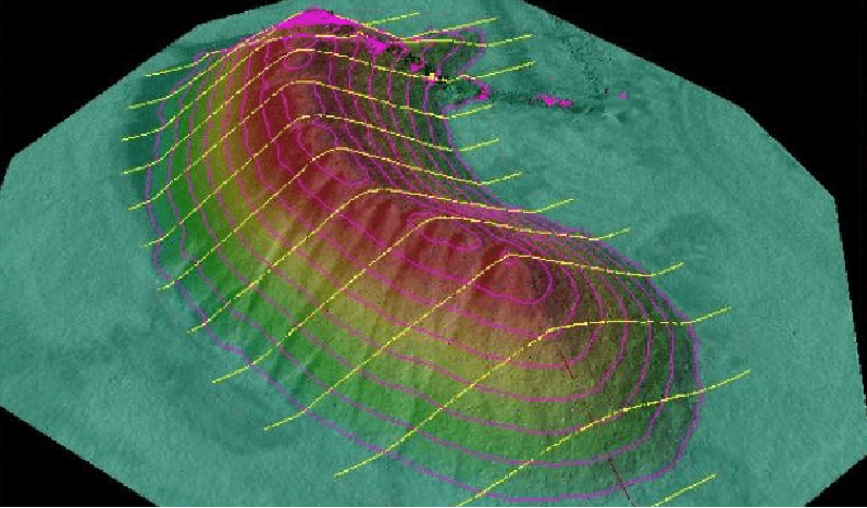
Digital Surface Model (DSM)
Detailed elevation model that includes natural and man-made features such as trees, buildings, and equipment—ideal for planning around existing surface structures.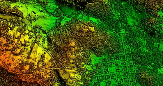
Ortho-mosaic
High-resolution, geo-referenced images composed of multiple aerial photos stitched together—ideal for precise measurements, site documentation, and visual analysis.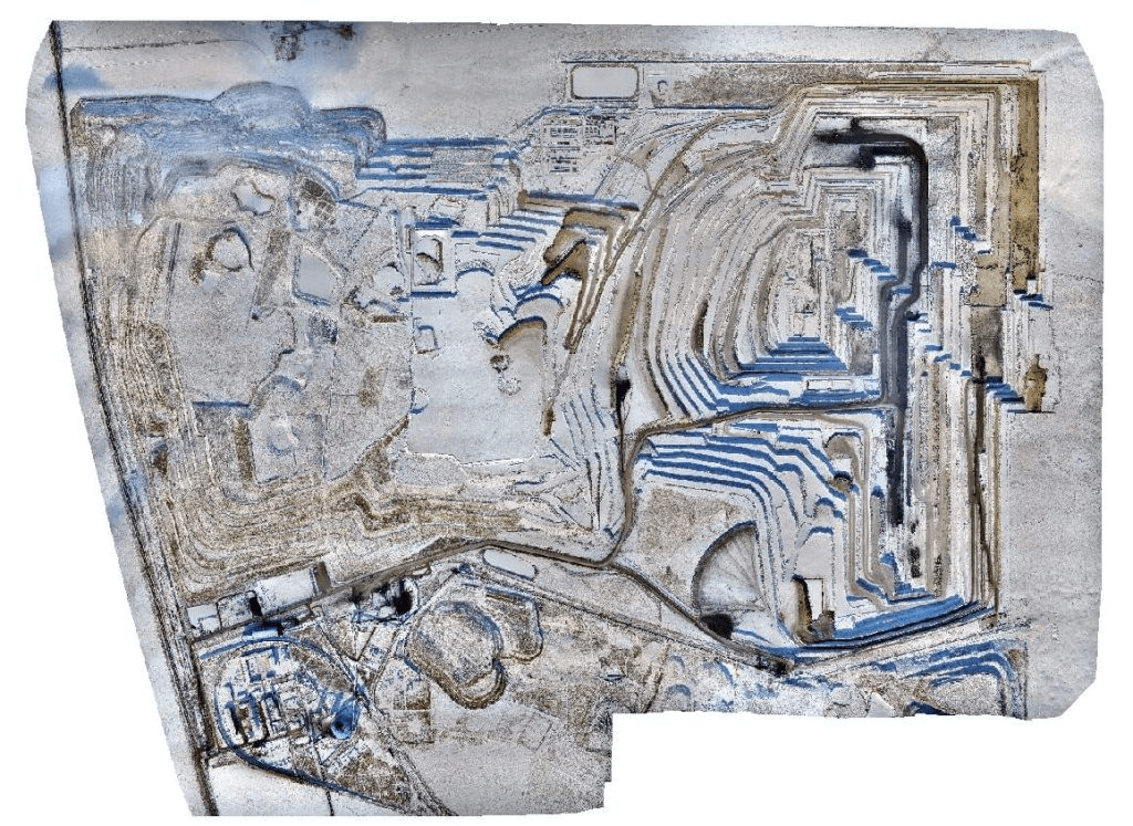
Volumetric Analysis
Accurately measures stockpile volumes, cut-and-fill quantities, and excavation progress—supporting inventory management, project planning, and billing validation.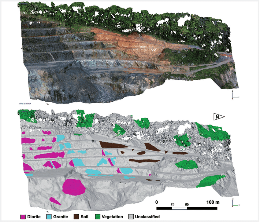
Change Detection / Progress Monitoring
Compare site conditions over time to monitor excavation, material movement, or landform changes—ideal for reporting and compliance tracking.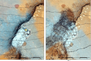
Benefits You Get with Vista Drone Deliverables
Enhanced Safety
Minimize on-ground risks by collecting data remotely via drones, reducing the need for personnel in hazardous or inaccessible areas.
Cost Efficiency
Lower operational costs through efficient resource management, improved inventory tracking, and streamlining site assessments.
Accurate Data
Capture accurate geospatial data to support better forecasting, planning, and budgeting—leading to smarter, data-driven decisions.
Precise Distance Measurement
Measure horizontal and vertical distances accurately for layout planning, compliance, and construction coordination.
Clear Boundary Mapping
Generate geo-tagged lease boundaries to clearly define operational zones and plan resource deployment effectively.
Comprehensive Site Intelligence
Access integrated visual data—maps, models, and measurements—that provide a holistic understanding of your site for ongoing decision-making.
Would you like to collaborate with us?
Get in touch with us now to initiate a collaborative project.
